İlber Ortaylı Route
The historic-peninsula walk described by historian İlber Ortaylı in interviews and TV programs — starting at Eminönü and ending at Sultanahmet via Süleymaniye, Zeyrek, Balat, the city walls and Yedikule.
- Stationen
- 9
- Strecke
- 9 km
- Dauer
- 360 Min.
- Schwierigkeit
- Mittel
Stationen
- 1Eminönü Square
The starting point of the route. Ortaylı describes this as the city's trade hub throughout Byzantine and Ottoman times.
- ~4 Min. · 300 m2Rıza Paşa Slope
Climbing up from Tahtakale, this steep slope is where Ottoman commercial life pulsed.
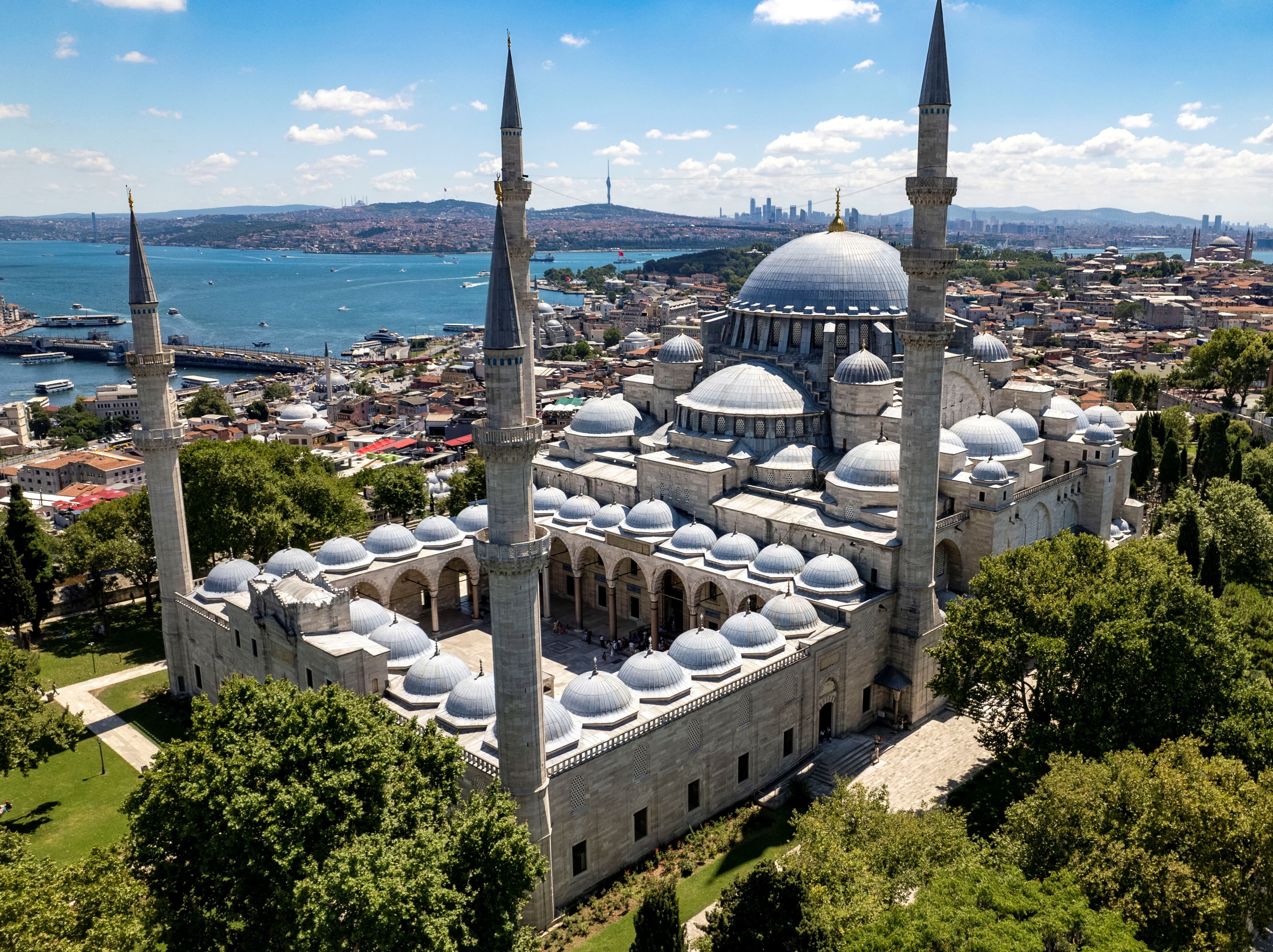
- ~6 Min. · 460 m3Süleymaniye Mosque
According to Ortaylı, the center of Ottoman scholarship and intellectual life; the madrasa and complex fabric still stands.
- ~9 Min. · 700 m4Zeyrek Mosque
A hilltop neighborhood overlooking the Golden Horn, where Byzantine (Pantokrator) and Ottoman traces intertwine.
- ~8 Min. · 610 m5Fatih Mosque
The new city center Mehmed the Conqueror built after the conquest of Istanbul.
- ~13 Min. · 1,1 km6Balat
A multicultural historic Golden Horn neighborhood where Byzantine and Ottoman heritage sit side by side.
- ~10 Min. · 810 m7Kariye Mosque / Kariye Museum
Ortaylı calls the walk along the walls "the most beautiful walking route"; it leads here to Chora.
- ~40 Min. · 3,2 km8Bayezid Mosque
A historic center of education and culture passed on the way back.
- ~12 Min. · 980 m9Sultanahmet Square (Hippodrome)
The end of the route: according to Ortaylı, "the best Istanbul tour is completed in this area."
Die Zeiten zwischen den Stationen sind grobe Schätzungen nach Luftlinie.
Den Weg haben wir gezeichnet. Den Rest überlassen Sie Istanbul.